Tuesday, 29 May 2012

Glossop - Bleaklow - Birchin Clough Triangle - 15 miles - Ninja Walk


An almost replica walk of the previous Glossop Circular. The addition of the aircraft wreck sites at James Thorn and Higher Shelf stones made this an all day epic hike.


Shire Hill from the path towards James Thorn


Fellow walkers at James Thorn


Mandy and Rachel at the trig point at Higher Self stones


Aircraft remains at Higher Shelf Stones


The Kissing Stones


Kinder Scout in the background, from Bleaklow Stones


Group photo of the gang at Bleaklow Stones


Alport Valley


Nether Redale Clough


The gang psyching themselves up for the climb up Nether Redale Clough


Some of the guys needed a bit of help


Near the top


A really nice stroll through Lady Clough Forest


The final hike back to Old Glossop from Doctors Gate


Friday, 6 April 2012

Llyn Cowlyd from Capel Curig - 5th April - 6 miles - Crinja Walk.

The snow had at least stopped, which allowed for a low level walk up to Llyn Cowlyd from Capel Curig.


From the start of the signed footpath off the A5 looking toward Gaillt yr Ogof.


A retrospective view toward Capel Curig and Moel Siabod.


Our first full view of Tryfan.


The view north toward Pen Llithrig y Wrach and Cwm Bychan on the left. The track was impossible to follow, the footprints soon turned back on themselves.


Another view toward Moel Siabod. The snow being thigh deep in places caused us to tread very carefully.


Taken from the southern tip of Llyn Cowlyd with Creigiau Gleison right, and Pen Llithrig y Wrach, left.


The quietest Jo had been all week, nothing to moan at.


The depth of snow was to become a problem finding any sort of path. From the footbridges at the southern tip of the lake we walked west along the man made dyke. A rare smile.


Looking toward Tryfan with Glyder Fach in the background. The return path can be made out but proved impossible to walk due to the depth of snow. The line of the man made dyke can be seen on the right of picture running parallel along Y Braich.


The view toward the Glyderau, with some worrying clouds starting to form.


The tarmac road proved the only way down toward the A5. All that remained was to get past the guards blocking the way. Our intention was to walk back to Capel Curig via the Nant y Benglog but the path over from the A5 was impossible to cross. A rather boring and dangerous walk followed back to Capel Curig.


Mynydd Y Gaer from Llannefydd - 3rd April - 5 miles - Winja Walk.


A walk from the Hawk and Buckle Inn took us to a local point of interest, Mynedd Y Gaer, an iron age hillfort.


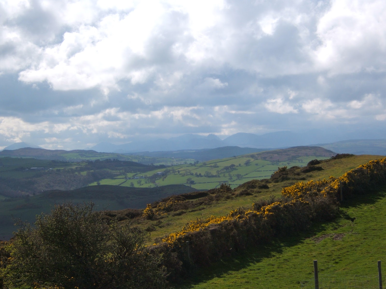
The view toward the Snowdon range.


Looking north toward the coast from the summit.


A friendly local.


The return route took us past Plas Uchaf Resevoir.


More friendly locals.


Llyn Brenig - 2nd April - 9.5 miles. Crinja Walk.

A 9.5 mile route around one of the largest areas of water in Wales.


Looking toward the nature reserve at the north end of the lake.


Bronze age burial mound at the north eastern point of the lake.


The ceremonial ring cairn close to the burial mound.


View of the lake from the dam.